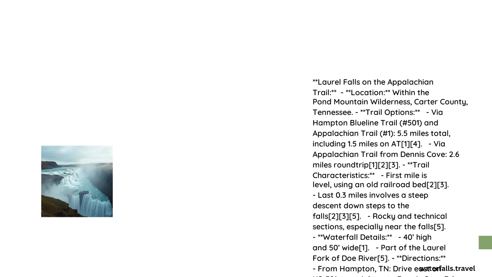
The Appalachian Trail Laurel Falls hike is a popular destination in Cherokee National Forest, Tennessee. This moderate trail offers hikers a chance to experience the beauty of Laurel Fork Gorge and its stunning 40-foot waterfall. The hike can be approached from two main trailheads: Hampton Blueline and Dennis Cove. Depending on the chosen route, the trail length varies from 2.6 to 4 miles roundtrip, offering diverse terrain and scenic views along the way.
What is the Trail Length and Estimated Hiking Time?
The Appalachian Trail Laurel Falls hike offers two main routes:
- Hampton Blueline Trailhead:
- Length: 3.5 to 4 miles roundtrip
-
Estimated time: 4-5 hours
-
Dennis Cove Trailhead:
- Length: 2.6 miles roundtrip
- Estimated time: 2-3 hours
Both routes include time for exploring and enjoying the falls. The longer route from Hampton Blueline also allows for a side trip to Potato Top, offering additional scenic views.
How is the Trail Marked?

The trail is well-marked with blazes to guide hikers:
- Hampton Blueline Trail: Follow blue blazes (#501)
- Appalachian Trail: Follow white blazes (#1)
Key waypoints include:
– Intersection of Hampton Blueline Trail and Appalachian Trail
– Fork to high-water trail (left, 1.0 mile) or low-water trail (right, 1.5 miles)
– Descent into Laurel Fork Gorge (last 0.3 miles)
What is the Difficulty Level of the Trail?
The Appalachian Trail Laurel Falls hike is considered moderate due to:
- Mixed terrain (flat sections and rocky areas)
- Steep ascents and descents
- Long series of steps into Laurel Fork Gorge
Hikers should be prepared for:
– Rocky sections
– Potential creek crossings
– Steep climb out of the gorge
This trail is suitable for families but may be challenging for very young children or those with mobility issues.
What are the Elevation Changes and Viewpoints?
While exact elevation gain is not specified, the trail involves significant elevation changes:
- Initial flat section along old railroad bed
- Moderate ascent after intersecting with AT
- Steep descent into Laurel Fork Gorge
- Optional steep rock scramble to Potato Top
Notable viewpoints include:
– Rocky crest overlooking Laurel Fork Gorge
– Panoramic views from Potato Top summit
– Scenic view from footbridge across Laurel Fork Creek
How to Reach the Trailheads?
Hampton Blueline Trailhead:
- From Hampton, follow TN-67 E/US-321 S
- Look for Laurel Falls trailhead on the right
Dennis Cove Trailhead:
- From Hampton, drive east on U.S. 321 for 0.8 miles
- Turn right onto Dennis Cove Road
- Continue about 4 miles
- Small parking area on the left for Appalachian Trail
Both trailheads have parking facilities, with Dennis Cove being smaller and potentially more crowded.
What are the Trail Restrictions?
The Appalachian Trail Laurel Falls hike is within the Pond Mountain Wilderness, which has specific regulations:
- Hiking only (no bikes or motorized vehicles)
- Group size limited to 10 people
- Intended to be a primitive area
What Should Hikers Bring?
For a safe and enjoyable hike to Appalachian Trail Laurel Falls, consider bringing:
- Sturdy hiking boots
- Plenty of water
- Snacks or lunch
- Weather-appropriate clothing
- First aid kit
- Map and compass
- Camera for capturing the scenic views
When is the Best Time to Hike?
The best time to hike Appalachian Trail Laurel Falls depends on personal preferences:
| Season | Pros | Cons |
|---|---|---|
| Spring | Wildflowers, moderate temperatures | Potential for rain, muddy trails |
| Summer | Lush greenery, warmer water for wading | Hot temperatures, more crowded |
| Fall | Beautiful foliage, cooler temperatures | Shorter daylight hours |
| Winter | Solitude, potential ice formations | Cold temperatures, icy conditions |
Consider water levels when planning your hike, as high water may necessitate using the high-water bypass trail.
What Wildlife Might You Encounter?
The Cherokee National Forest is home to diverse wildlife. Hikers might encounter:
- Black bears
- White-tailed deer
- Wild turkeys
- Various bird species
- Salamanders near water sources
Remember to observe wildlife from a safe distance and never feed animals.
How Can Hikers Practice Leave No Trace Principles?
To preserve the beauty of Appalachian Trail Laurel Falls for future hikers:
- Pack out all trash
- Stay on designated trails
- Respect wildlife
- Leave natural objects where you find them
- Use established campsites if backpacking
- Properly dispose of human waste
- Be considerate of other hikers
By following these principles, we can ensure that this beautiful area remains pristine for years to come.
The Appalachian Trail Laurel Falls hike offers a rewarding experience for those willing to tackle its moderate challenges. With proper preparation and respect for the environment, hikers can enjoy the stunning beauty of Laurel Fork Gorge and its magnificent waterfall.
References:
1. Hiking the Appalachians: Laurel Fork Falls and Potato Top
2. USDA Forest Service: Cherokee National Forest – Laurel Fork Falls Hike
3. Waterfall Picture Guide: Laurel Falls in Dennis Cove, Carter County, Tennessee
