
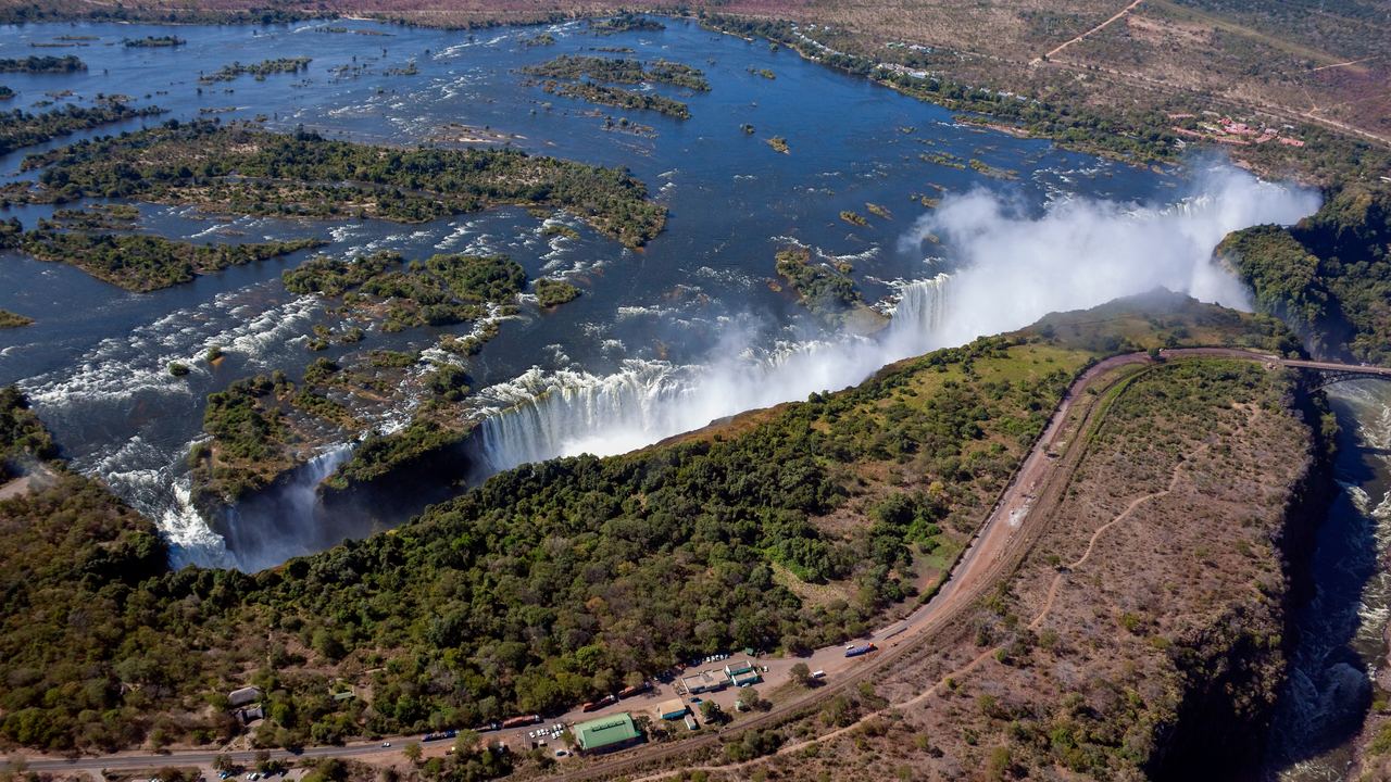
A waterfall needs a river and a step in its bed. Where the step comes from is where the explanations split. The story most people learn, a layer of hard rock sitting on soft rock, is true for Niagara and does not describe Victoria Falls or Iguazú. In his 2020 review of waterfall science in Quaestiones Geographicae, the Oxford geographer Andrew Goudie says the caprock model does not apply to those two, which sit on thick sequences of basalt. This page goes through the settings that do produce steps, one at a time, with a named example and the paper or agency that says so. We read every source named here on 2026-10-27.
Some links on this site lead to tour listings. We earn a commission on bookings made through them, at no extra cost to you. See our Editorial Policy. Nothing below depends on a booking. The places we name are there so you can stand in front of each setting, and our page for Niagara Falls is the nearest one to the textbook case.
Why is hard rock over soft rock the textbook answer?
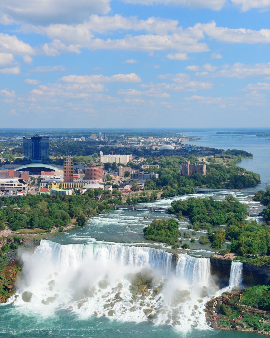
Because Niagara shows it so plainly. G. K. Gilbert set it out in USGS Bulletin 306 in 1907: strong, resistant limestone on top, weaker shale below. As the shale wears away, the limestone is left sticking out like a cornice with nothing under it, and from time to time it falls in large blocks. Under the deepest part of the Horseshoe, Gilbert wrote, the plunging water is so agitated that it rolls the fallen blocks around and uses them to grind the shale, which keeps a hollow beneath the fall that is deeper than the fall is high. Retreat comes from that cycle. Gilbert measured the Horseshoe crest moving back about 5 feet a year, give or take 1 foot, between 1842 and 1905. That is a historical rate and not today's. Our guide to Niagara's erosion and the 1950 treaty has the current estimates and where they are weak.
Other falls fit the same pattern. Goudie names High Force on the Tees in England, which drops over a dolerite sill that lies above softer limestone. Even at Niagara the picture is contested. In a 2010 paper in Engineering Geology, Yuichi Hayakawa and Yukinori Matsukura found that the notch under the crest is no longer than about 10 meters, while their stability calculation says the limestone should hold until an undercut reaches tens of meters or more. They suggest the face retreats by gradual detachment of rock instead (DOI).
A textbook explanation fits one rock sequence. Before you repeat it for the next waterfall, find out what the rock is.
What do Iguazú and Victoria Falls do instead?
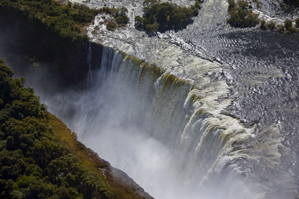
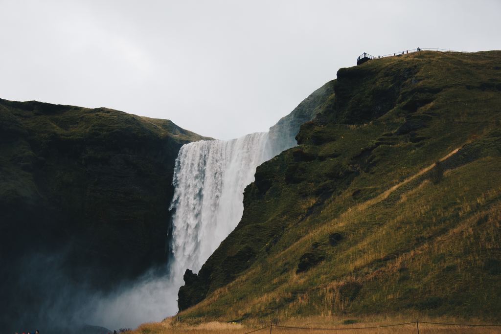
Both drop over basalt, and neither has the shale-under-limestone arrangement. At Iguazú, the International Union of Geological Sciences (IUGS) Geoheritage page says the region is dominated by lava flows that spread some 125 to 115 million years ago, in the Lower Cretaceous, and piled up to as much as 1,500 meters. It calls the falls a very clear example of regressive fluvial erosion (IUGS), which is the river cutting its way upstream. That is a different engine from Niagara's. For the count of drops, the flow and the closure thresholds, see our Iguazú Falls page, because those are the figures that change.
Victoria Falls is a different story again. The IUGS page describes the falls as the present position of a knickpoint, a sudden steepening of the river bed, that has migrated west and cut the gorges below into layered Jurassic basalt. It says the Zambezi runs in a deep graben and points to tectonic control (IUGS). The UNESCO text adds the pattern that makes aerial photos of the site unmistakable: the gorges take a zigzag course for about 150 km below the falls, and seven previous waterfalls occupied the seven gorges below the present one (UNESCO, read through an archived copy). Both texts speak of eight gorges in all. Goudie adds river capture. A possible explanation, he writes, is that the Upper Zambezi was captured by a tributary of the middle Zambezi in the late Cenozoic, and the lowered base level then drove fast cutting back toward the falls. Our page for Victoria Falls lists the tours.
Which other settings make a river drop?
Goudie's review sorts waterfalls by geomorphological setting, and we group his sections into seven, counting the caprock case and the basalt cases above as the first two. The ground itself can step. He calls Kalambo Falls, on the border of Zambia and Tanzania, the classic case of a rift valley changing the base level, and he places Murchison Falls on the Nile where the river plunges over schists at the Western Rift. Southern Africa shows the other form, great escarpments at the edge of the continent, with notable falls on the Kunene at Ruacana, the Orange at Augrabies and the Tugela. A river that meets the sea at a cliff drops over it, and a falling sea level does the same. Goudie's example is Ka'ula'ula in Hawaii, a waterfall that has migrated back over the past 120,000 years from a knickpoint started by sea-cliff erosion at a time of high sea level.
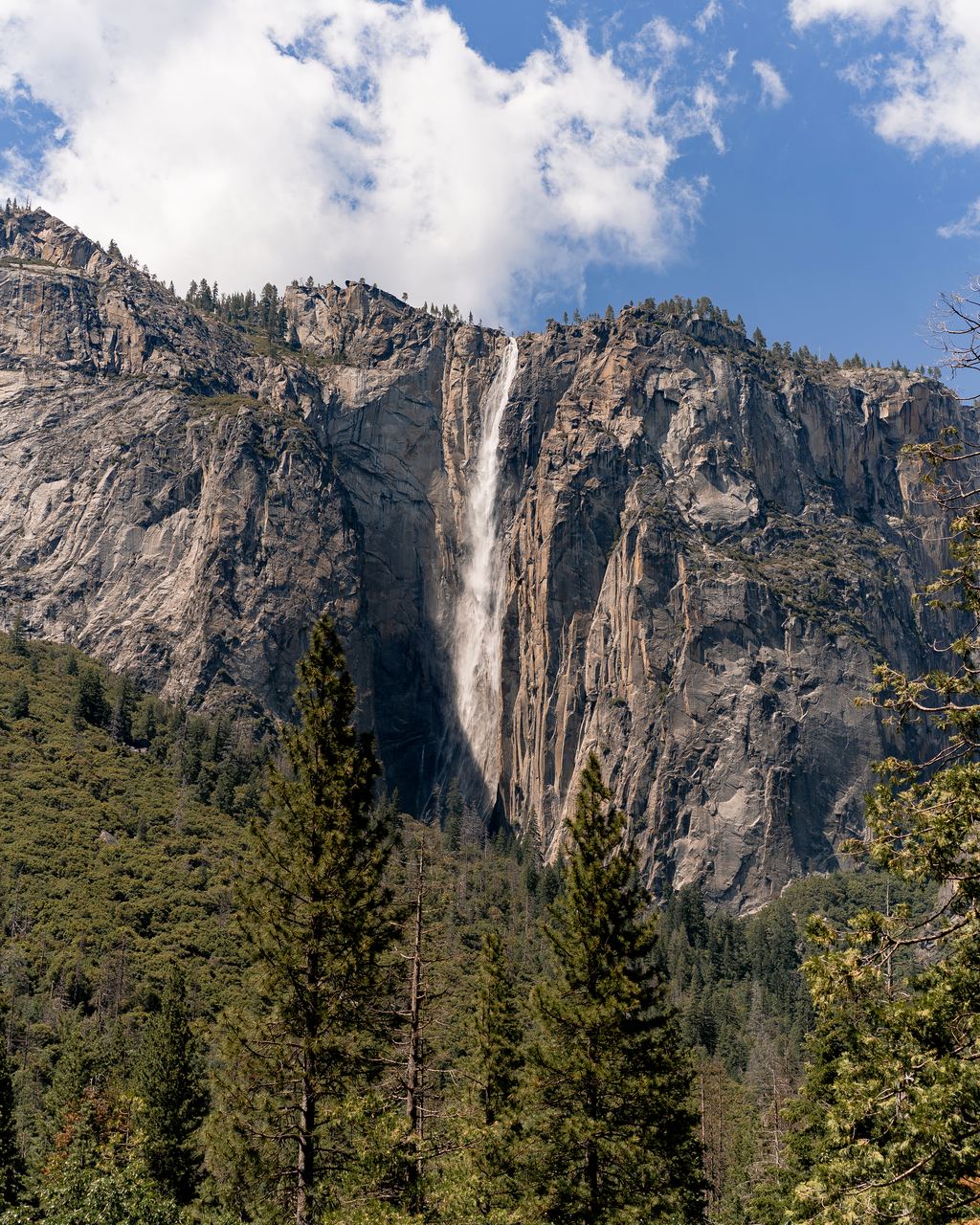
Ice leaves waterfalls behind in whole regions. A glacier deepens the main valley faster than its tributaries can follow, and when it melts the side streams are left hanging. The University of Oregon's geology page describes it that way, with Bridal Veil Fall in Yosemite as its picture. Goudie says waterfalls are widespread in areas glaciated in the Pleistocene, such as the fjords of Norway and New Zealand and the flanks of Yosemite. He also lists Multnomah Falls in Oregon in his table of tall falls, classing it as a hanging valley shaped by the Missoula floods, which brings us to the last two settings. A lava flow or a landslide can block a river and make a lake that spills over the face of the dam; Goudie gives the Kegon Falls of Japan as a lava-dam case. And a catastrophic flood can cut a steep, blunt head into a canyon. He cites Palouse Falls in Washington State, made by the glacial Lake Missoula floods, and Malham Cove in Yorkshire, a dry cliff that ran as a waterfall for the first time in living memory in the very wet winter of 2015 and 2016. The Columbia River Gorge page lists tours in that country.
| Setting | What makes the step | Example named by the source | Source |
|---|---|---|---|
| Hard rock over soft rock | A strong layer undercut as the weak one below wears away | Niagara; High Force on the Tees | Gilbert 1907; Goudie 2020 |
| Thick basalt, river capture | The river cuts upstream through lava flows; a captured river lowers the base level | Iguazú; Victoria Falls | IUGS; UNESCO; Goudie 2020 |
| Rifts, faults, great escarpments | The ground steps, or a river drops off a continental edge | Kalambo; Murchison; Ruacana, Augrabies, Tugela | Goudie 2020 |
| Sea cliffs and sea level | A river meets a cliff, or the sea falls | Ka'ula'ula, Hawaii | Goudie 2020 |
| Glaciated valleys | Ice deepens the main valley and leaves side streams hanging | Bridal Veil Fall; fjord falls in Norway and New Zealand | University of Oregon; Goudie 2020 |
| Dams of lava or landslide | A lake spills over the face of the dam | Kegon Falls, Japan | Goudie 2020 |
| Megafloods | A catastrophic flood cuts a steep, blunt head | Palouse Falls, Washington State | Goudie 2020 |
| The exception: tufa | Calcium carbonate builds the barrier, so the fall advances | Krka, Pliva and Topolje falls | Gregory 1911, via Goudie 2020 |
What is the pool at the bottom doing there?
The falling water digs it. Gilbert's account of Niagara is the clearest: the blocks that fall from the cornice are rolled by the plunging water and grind out a hollow, and as the cataract retreats it leaves a deep channel behind it where the current is slow. Goudie's review adds the modern list of processes that make a fall retreat: toppling of jointed rock, flow that speeds up at the brink, cavitation at the lip, and scour by a pool that is itself shaped by the sediment it carries. Pools are not universal. He quotes a study by Young and colleagues in which many waterfalls in sandstone turned out to be buttressed at the base instead of undercut, and some had no plunge pool at all. For a visitor the point is plain. A pool at the foot of a fall is deep for reasons that have nothing to do with swimming, and what each park allows is in Can You Swim at a Waterfall?, with the hazards at the top in Waterfall Safety: The Rules That Matter.
Can a waterfall grow instead of retreat?
Yes, and it is the exception that gets its own name. A tufa waterfall is built by the water that falls over it. The Plitvice Lakes National Park describes tufa as a hollow, porous rock formed when dissolved calcium carbonate is deposited by plants, algae and mosses, and it lists the conditions: water oversaturated with calcium carbonate, a pH above 8.0, and dissolved organic matter below 10 milligrams per liter. Goudie credits the term constructive waterfalls to J. W. Gregory in 1911, whose examples came from the limestone regions of the Balkans: the Krka falls in Dalmatia and the Pliva and Topolje falls in Bosnia. Goudie also names Dunn's River in Jamaica among the waterfalls that prograde. Those falls advance. The word for the rock changes with the source, which the glossary sorts out, and growth rates and the rules on a barrier are in Tufa and Travertine Waterfalls. Tours to the two Croatian parks are listed on our Plitvice Lakes and Krka National Park pages.
How did the explanation change?
Six dates from the sources above, in the order the ideas arrived.
The origins
-
1845
The caprock model
Charles Lyell describes undercutting of a hard cap at Niagara, the model Goudie calls the most venerable for waterfall development.
The growth
-
1907
Gilbert measures the retreat
G. K. Gilbert publishes USGS Bulletin 306 with a rate of about 5 feet a year for the Horseshoe between 1842 and 1905.
-
1911
Falls that grow
J. W. Gregory names constructive waterfalls, using limestone examples from the Balkans.
Today
-
2009
Why Niagara slowed
Hayakawa and Matsukura publish a study of the factors behind Niagara's recession rate since the 19th century (Geomorphology 110).
-
2010
The notch is short
The same authors report that the undercut under the Horseshoe crest is far shorter than the caprock model needs (Engineering Geology 116).
-
2020
A review says the model is not universal
Goudie's review states that the caprock model does not apply to Victoria Falls or Iguazú, and counts 38 World Heritage properties with waterfalls.
Where can you see each setting?
For the caprock case, Niagara Falls. For the basalt giants, Iguazú Falls and Victoria Falls. For tufa, the two Croatian parks above. Whether a tour is worth booking is a separate question, and our guide to reading a tour listing is where to start. The rest of this section follows the same rule as this page: each claim names its source and the day we read it.
Keep reading in this section
Five guides that go deeper into what this page only outlines.
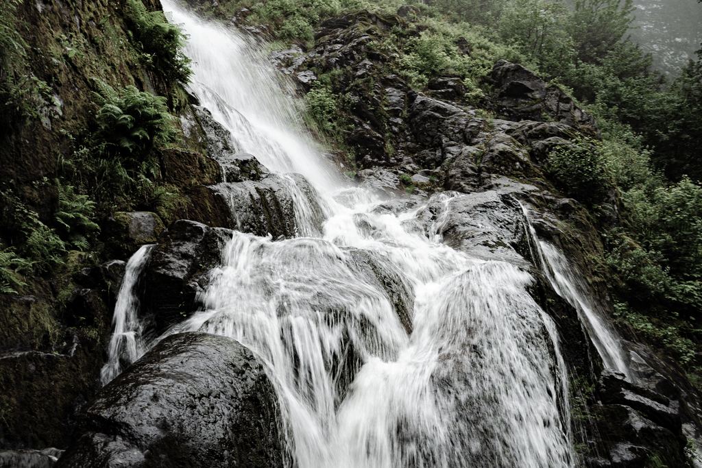
Types of Waterfalls: A Glossary
Thirteen terms, and where the sources disagree on them.
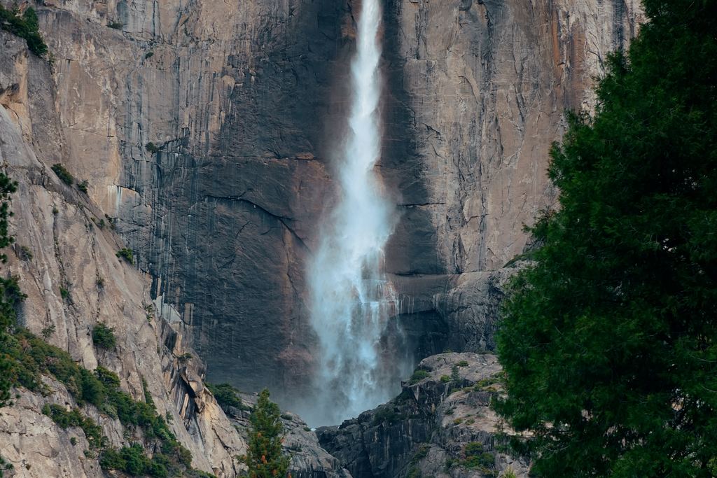
Waterfall Records by Metric
Why the answer to which one is tallest depends on what you count.
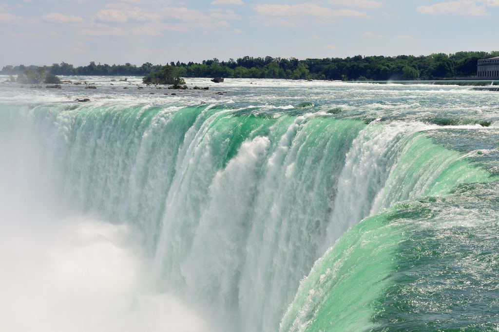
Niagara Falls: Erosion and the 1950 Treaty
How fast the crest moves, and what the treaty does and does not say.
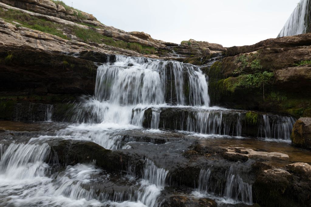
Waterfall Wildlife and Plants
Dippers, swifts, climbing fish and what grows in the spray.
Waterfall FAQ
Short answers to the questions that fit nowhere else.
Quick answers
Do all waterfalls have a plunge pool?
No. Goudie quotes a study by Young and colleagues in which many waterfalls in sandstone were buttressed at the base instead of undercut, and some had no plunge pool at all. The pool under Niagara's Horseshoe is the textbook case, not the rule (Goudie 2020, read 2026-10-27).
Does a waterfall always move upstream?
Not always. Goudie's abstract notes waterfalls that prograde, meaning advance, as a result of tufa deposition, and his review gives the Krka falls in Dalmatia as an example, crediting the idea to Gregory in 1911.
How many World Heritage sites include waterfalls?
Thirty-eight, according to the abstract of Goudie's 2020 review, which lists them in its Table 1. Plitvice Lakes, Iguaçu National Park and Mosi-oa-Tunya / Victoria Falls, three places this site has tour pages for, are on that list.
What does regressive erosion mean?
The river cuts back upstream from the point where it first dropped. The IUGS Geoheritage page on Iguazú uses the term for the falls there and calls them an active example. In plain words, the falls move upstream.
Data verified on . Read on 2026-10-27: USGS Bulletin 306, Goudie 2020, two papers by Hayakawa and Matsukura, IUGS and UNESCO pages, Plitvice park page. Check the sources before you cite a figure. Editorial Policy
See a basalt waterfall from the rim
We earn a commission if you book through this link, at no extra cost to you. Read the listing's stop list first.