
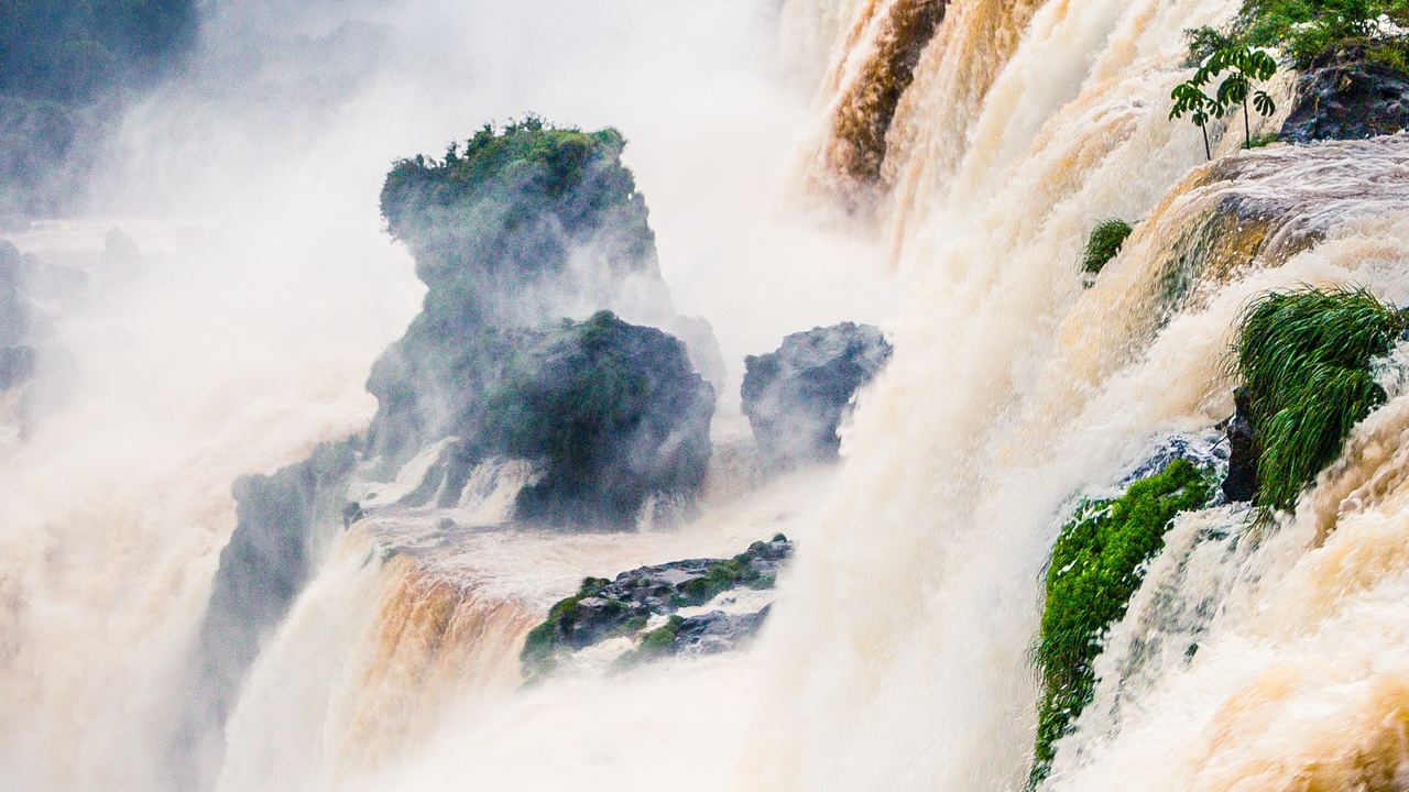
None of the operators we read says one bank of these waterfalls is better, and we will not say it for them. What they publish differs a great deal, though, and that difference is the useful part. For each of the three falls that two countries share, this guide sets out who runs each bank, what that operator writes about its own side, and what it leaves unwritten. Admission charges, opening hours, tickets and border papers sit on the category pages, because they change. They are not repeated here. If you are still choosing a destination, start with our guide to where to go.
We earn a commission when you book a tour through the links on this site, at no extra cost to you. It does not change what we write: this page also says where a tour is not the point. How we are paid is explained in our Editorial Policy. The tour pages for each waterfall are Iguazú Falls, Victoria Falls and Niagara Falls.
Who runs each bank?
The sources are not equals, and that changes how much weight a sentence deserves. A state agency, a company holding a concession, a ministry's agency and a tourism portal all speak for these banks.
| Falls and bank | Who runs it or writes about it | What the pages describe |
|---|---|---|
| Iguazú, Argentina | The national parks administration of Argentina, for Parque Nacional Iguazú | Three walks with lengths and stairs, licensed guides through a portal, a request to keep to the time on the ticket |
| Iguazú, Brazil | ICMBio owns Parque Nacional do Iguaçu; Urbia Cataratas, a concessionaire, runs the visits | One main trail, a flood protocol, river-flow bulletins |
| Victoria Falls, Zimbabwe | Zimparks, the parks authority | Height, width and two cautions; no viewpoints named |
| Victoria Falls, Zambia | No authority page found; a tourism portal, Zambia Tourism | Width, viewpoints, a seasonal description |
| Niagara, Canada | Niagara Parks Commission, an agency of the Ontario government | Attractions such as Journey Behind the Falls |
| Niagara, United States | Niagara Falls State Park; its website is run by a concessionaire | Overlooks, islands and a short history |
Iguazú: what each park says about its own side
Argentina's bank is Parque Nacional Iguazú. Its activities page describes three walks: the lower circuit, 1,750 meters of walkways with stairs, where the park says accessibility is restricted; the upper circuit, 1,850 meters one way with no stairs; and the Garganta del Diablo, a 1,100-meter walkway without stairs over the upper riverbed. The park says the walks can be done alone or with a guide. Its services page adds that guides licensed by the national parks administration can be hired through the park's access portal. It also lists the Macuco forest trail, 7 km there and back, and a train from the central station to the Cataratas and Garganta stations.
The Brazilian bank is Parque Nacional do Iguaçu. According to the concessionaire's own page, the federal agency ICMBio administers it, tourist services have been run under a concession since 1999, and Urbia Cataratas has held it since December 2022. So the official visitor pages are a company's. It describes one main route, the Trilha das Cataratas, and gives its length as about a kilometer and a half in the visitor guide and as 1 km in the general information page. The same page puts the internal transport at about 12 km round trip between the visitor center and the trail. One trail, two numbers. It is a small thing, and it is a reason to read every figure from either side as that operator's.
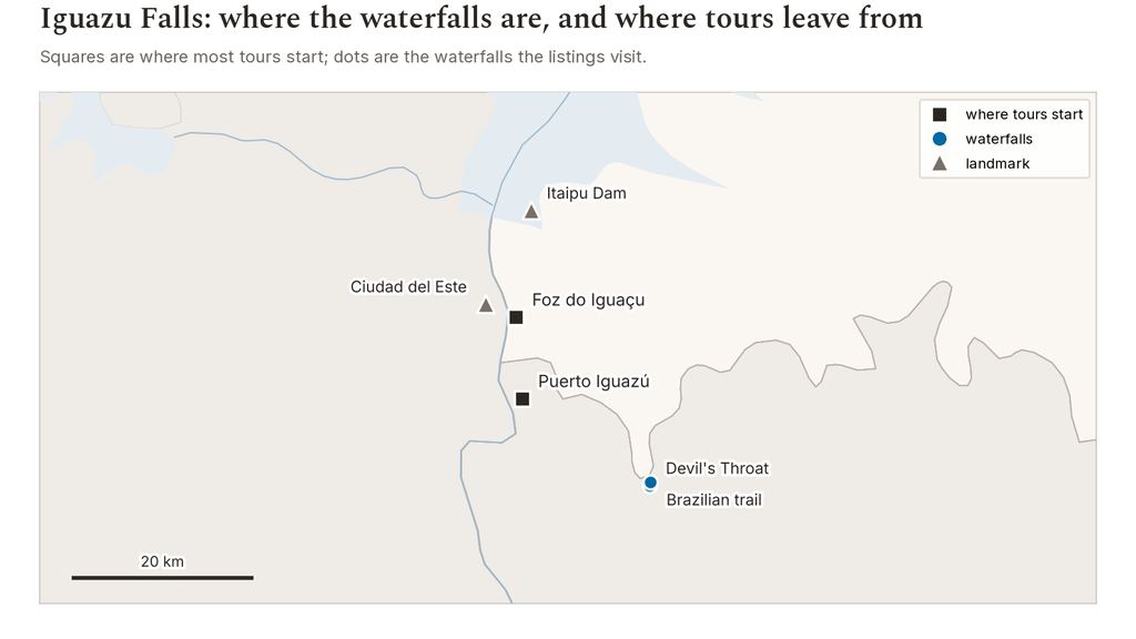
Water is where the banks differ most. The Brazilian concessionaire publishes a flood protocol with river-level numbers for closing and reopening its walkway. We leave those numbers to our guide to what to do when a waterfall is closed or dry, which gives each threshold to the operator that set it. We found no river-level threshold on the Argentine park pages we read on 2026-10-27, and that is a gap in what is published, not proof that none exists. Neither park ranks the sides. The Argentine park does ask visitors to keep to the time chosen on the ticket. Tours are listed by bank on our pages for the Argentine side and the Brazilian side.
Victoria Falls: what the two banks publish
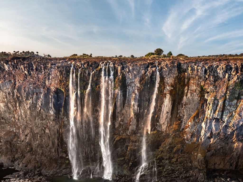
On the Zimbabwe bank the operator is Zimparks. Its Victoria Falls National Park page gives the falls as 108 meters high and 1,708 meters wide and carries two cautions: avoid the edge of the cliff, and mind the slippery rocks. It names no viewpoints and no cataracts. That is a short list. It also opens by claiming the largest waterfall anywhere, which UNESCO words more narrowly: the largest curtain of falling water in the world, 1,708 meters wide, up to 500 million liters per minute, dropping 61 to 99 meters across four named sections.
On the Zambian bank we found no page from a park authority. What turned up was a tourism portal, Zambia Tourism, which we read through the Internet Archive because the live site refused our request. It gives 108 meters and 1,688 meters, and it names the Knife-edge Bridge as the point for the best view of the Eastern Cataract, the Main Falls and the Boiling Pot. Livingstone Island, the Falls Bridge and a lookout tree are its other points. A portal is not the managing authority, so we read it as a tourism description and not as a rule.
| Source | Width | What kind of source |
|---|---|---|
| Zimparks | 1,708 m | Park authority page, Zimbabwe |
| UNESCO | 1,708 m | World Heritage text, read through the Internet Archive |
| World Waterfall Database | 1,707 m | Database entry last updated in 2017 |
| Zambia Tourism | 1,688 m | Tourism portal, read through the Internet Archive |
A 20-meter gap in 1,700 is a rounding question. The flow figure on the Zambian portal is another matter. It writes more than five hundred million cubic meters per minute, where UNESCO's text gives 500 million liters, which is a factor of a thousand. UNESCO's figure works out to about 8,300 m³/s (our conversion). We do not use the portal's number.
Niagara: two operators, two stories
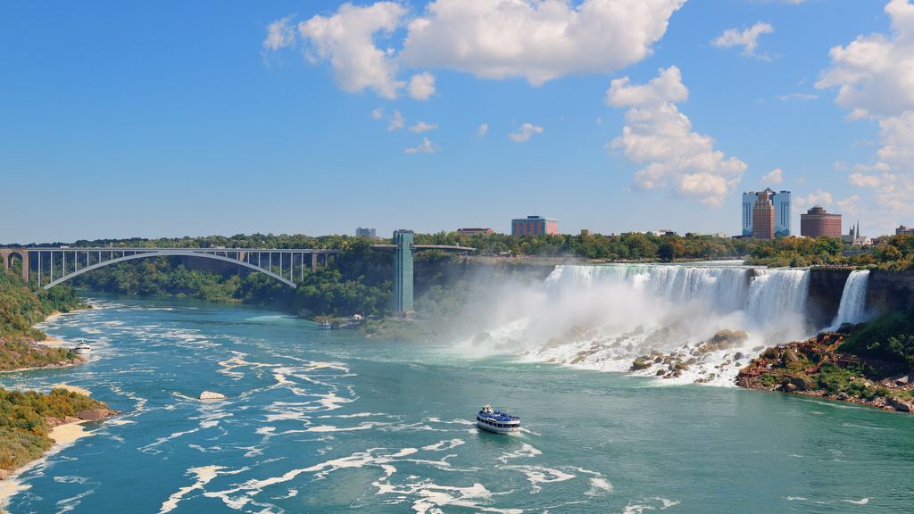
On the Canadian bank the operator is the Niagara Parks Commission, which describes itself as a self-financed agency of the Ontario ministry for tourism, culture and sport. Its page for Journey Behind the Falls describes a 125-foot descent through 130-year-old tunnels to an observation deck at the foot of the Horseshoe Falls, as a self-guided experience, and labels it partially accessible. The same agency's cruise page says its boat passes the American Falls and Bridal Veil Falls before it enters the mist of the Horseshoe. So a Canadian boat sees the American Falls, which is worth knowing before you treat the banks as separate views.
On the American bank, Niagara Falls State Park is a state park, and the website we could read belongs to its concessionaire, Delaware North. We opened it through an Internet Archive capture of 17 October 2026. Its page on overlooks lists Terrapin Point above the Horseshoe Falls on Goat Island, Stedman's Bluff facing Luna Island, Bridal Veil Falls and the American Falls, Luna Island itself, the Three Sisters Islands and Prospect Point. Its facts page calls it the oldest state park in the country, established in 1885 as the Niagara Reservation, and gives its size as 487 acres.
The two pages read differently. The Canadian operator describes an attraction you enter. The American one lists places you stand. That is how two operators write, and it is not a verdict on the falls. Tours by bank are on our pages for the Canadian side and the American side.
Why do the flow numbers never match?
Units, mostly. They change from one source to the next. The same idea, how much water goes over the edge, is written four ways in the pages above, and a reader who skips the unit can be off by a factor of 60 or 1,000 without noticing.
| Source | Unit it uses | Value in the source | In cubic meters per second |
|---|---|---|---|
| Zambezi River Authority | Cubic meters per second | 296 at Nana's Farm, 26 October 2026 | 296 |
| Brazilian concessionaire at Iguazú | Liters per second | 6.2 million, 19 October 2026 | 6,200 |
| UNESCO, Victoria Falls | Liters per minute | Up to 500 million | About 8,300 |
| World Waterfall Database, Victoria Falls | Cubic feet per second | 38,430 (listed with 1,088 cubic meters per second) | 1,088 |
Check the unit first and the number second. A liter per second is a thousandth of a cubic meter per second, and a minute is sixty seconds, which is how a figure can be right in one unit and absurd in another. The Zambian portal's error above is exactly that kind of slip, and the portal's own table also lists a flow rate of 1,088 with no time unit at all, which matches the World Waterfall Database figure for the same falls.
Do these falls have a calendar?
Not one that any operator gives as a month. Each of the three answers the question in its own way.
Niagara's answer is a treaty. The 1950 agreement sets minimum flows over the falls and divides the surplus for power, and our guide to Niagara and the treaty is the one place on this site that explains it. For a visit it means the water over the falls is managed by agreement, which is a different thing from a seasonal fall.
Victoria's answer is a gauge. The Zambezi River Authority publishes its readings at the Victoria Falls station, Nana's Farm, and the bulletin we read gave 296 m³/s on 26 October 2026. The same page lists three historical figures, set out below.
| Figure | Value | What it is |
|---|---|---|
| Reading on 26 October 2026 | 296 m³/s | A single day |
| Long-term mean annual flow | 1,100 m³/s | A yearly mean |
| Highest flow recorded | 10,000 m³/s, March 1958 | A maximum at the station |
| Lowest annual mean | 390 m³/s, season 1995/96 | A yearly mean |
Do not set the 296 beside the 1,100: one is a single day at the end of October and the other is a yearly mean. A 2017 project document for a dam scheme calls August to January the low-flow season in rafting terms, and the Zambian portal describes the flood as peaking around March and April.
Iguazú's answer is a press release. The Brazilian concessionaire reported 11.8 million liters per second on 12 October 2026, the highest figure it had recorded that year, and later reported 6.2 million on 19 October, which it put at more than four times the historical mean of 1.5 million. In cubic meters that is 11,800, 6,200 and 1,500 per second (our conversion). The concessionaire says the park stayed open while the main walkway was closed. There is no official month, and the Argentine pages we read give none either.
A river that can run at four times its mean in the middle of October does not have a high season. It has a bulletin.
For scale only, the highest reading on the ZRA's page, 10,000 m³/s, is below that October figure from Iguazú. They are different rivers measured at different stations, so do not rank the falls on it.
What about the border?
Each of these falls sits on an international border. That has consequences. Whether it is possible to cross to see the other bank is a question for your passport, not for this page. Canada's border agency says travelers need proof of identity and citizenship, and its travel pages are the place to check. The US customs agency has a Know Before You Go page. The UK government's travel advice for Zambia describes a joint visa for Zambia and Zimbabwe, the KAZA UNIVISA, and requirements depend on nationality. We read none of the Argentina and Brazil requirements. Check the issuing authority for your own passport before you plan to see both banks, and read do you need a tour at all and how to read a tour listing before you book.
Quick answers
Which side of Victoria Falls has the better view?
No operator we read ranks the banks. Zimparks names no viewpoints, and the Zambian portal names the Knife-edge Bridge for the Eastern Cataract, the Main Falls and the Boiling Pot. That portal also says parts of the falls dry up from October, which matters more than the bank if you are visiting late in the year.
Why do the widths of Victoria Falls differ between sources?
Zimparks and UNESCO give 1,708 meters, the World Waterfall Database 1,707 and the Zambia Tourism portal 1,688. The differences are a few meters in 1,700 and come down to how each source measured the crest.
Does any operator say which month is best?
Not as a rule. The Zambian portal describes the flood as peaking around March and April, a 2017 dam document calls August to January the low-flow season in rafting terms, and the Brazilian side of Iguazú publishes river readings instead of a month.
Data verified on . Read on 2026-10-27 from each operator's pages. Zimparks, UNESCO, Zambia Tourism and the Niagara State Park site are partly read through the Internet Archive. Editorial Policy
Pick the waterfall first, then the bank
We earn a commission if you book through this link. The tour pages sort each waterfall by bank, so you can compare what each listing covers.