
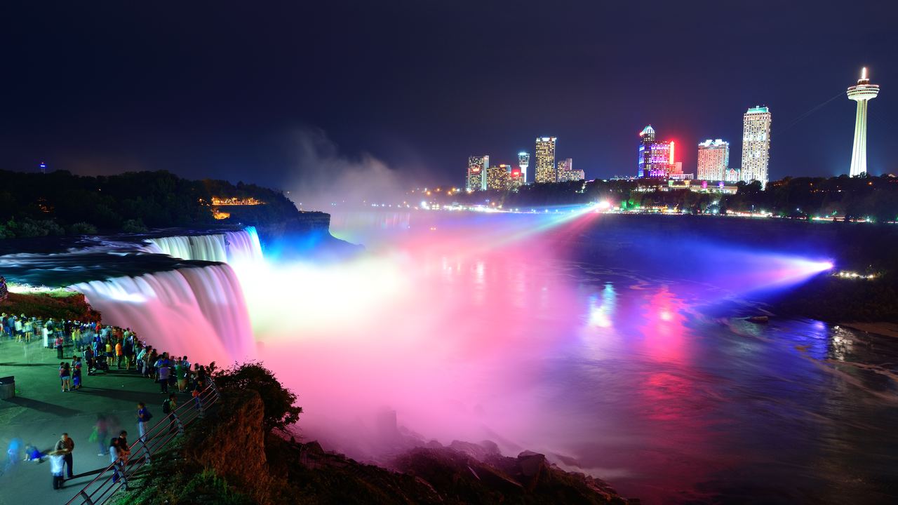
No. The 1950 Niagara Treaty never switches the falls off. It sets minimum flows over the Falls, and the International Joint Commission (IJC) gives them as plain numbers: not less than 2,832 m³/s (100,000 ft³/s) between 8 a.m. and 10 p.m. Eastern Standard Time from April 1 to September 15, the same figure between 8 a.m. and 8 p.m. from September 16 to October 31, and not less than 1,416 m³/s (50,000 ft³/s) "at any other time". That is the whole clause, read on 2026-10-27. The IJC adds that the flow in question is the American and Horseshoe flows added together.
A floor is not a flow. The sources we read do not give the actual hourly flow, so none of them can tell you how much water goes over the crest at 11 p.m. in July. The IJC directive that created the Niagara Board of Control in 1953 does ask the Board to report the amounts passing over each fall (IJC Board FAQ), and we found no public hourly series. One more wrinkle is ours, not the IJC's: the treaty says Eastern Standard Time, and United States daylight saving time runs from the second Sunday of March to the first Sunday of November (NIST), which covers every day of the tourist-hour period. Read literally, the daytime window is then 9 a.m. to 11 p.m. on a wall clock, and 9 a.m. to 9 p.m. in the autumn period. We found no source saying how the operators apply it.
The treaty tells the power plants what they must leave in the river. It does not tell a visitor what the falls will look like at ten o'clock.
If you want to see the falls after dark, the Niagara Falls at night page lists the tours that run then, and this site earns a commission if you book through it, at no extra charge to you. Our guide to choosing a waterfall tour is worth reading first.
Who keeps the water above the minimum?
Three pieces do the work. The treaty calls for one representative from each country to determine how much water is available and record how much the power plants take; the two governments designated them the International Niagara Committee in 1955. Their on-site representatives inspect the flows weekly, according to the IJC, and a shortfall against the minimum is investigated and entered in an annual report to both governments. The structure that makes the minimum possible is the International Niagara Control Works, 18 sluice gates about 0.8 km upstream of the Horseshoe Falls, operated by Ontario Power Generation and the New York Power Authority under the oversight of the IJC's Niagara Board. Raising or lowering the pool behind it changes both the flow over the falls and the water available for the power tunnels. Everything above the minimum, once other priority uses are met, is split equally between Canada and the United States, except 141.6 m³/s (5,000 ft³/s) of Long Lac and Ogoki diversions that belong to Canada alone. Sources: the IJC pages on the Niagara Committee and the Control Works, read 2026-10-27.
Does the river have a quiet season?
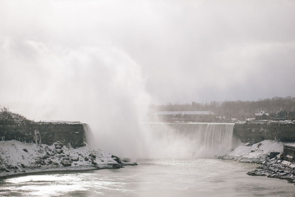
The river, hardly. The falls, by regulation. The USGS gauge on the Niagara River at Buffalo, near the head of the river, gives monthly means for 1991-2020 that run from 5,836 m³/s in February to 6,342 m³/s in May, about 3% below to 5% above the average of the twelve months (our arithmetic on the USGS table). That is the water entering the river, not the water going over the Falls. For the Falls side we have Niagara Parks: about 75% of the water is diverted in winter, leaving a winter flow of roughly 85 million liters a minute, while from April 1 to October 31 about half is diverted, for a summer flow of about 170 million. Convert the treaty floors and the same pair comes out: 1,416 m³/s is 85 million liters a minute, and 2,832 is 170 million. That is arithmetic, not proof that the water never rises above the floor. Against a river of about 6,000 m³/s, the daytime floor is a little under half and the lower floor a little under a quarter. Other regimes, from rain to snowmelt, are in when does a waterfall have water.
| What it measures | Number | Source |
|---|---|---|
| Water entering the Niagara River at Buffalo, monthly means 1991-2020 | 5,836 to 6,342 m³/s | USGS gauge 04216000 |
| Legal minimum over the Falls in tourist hours | 2,832 m³/s (100,000 ft³/s) | IJC, 1950 Treaty |
| Legal minimum over the Falls at any other time | 1,416 m³/s (50,000 ft³/s) | IJC, 1950 Treaty |
| Winter and summer flow over the Falls as the operator gives it | About 85 and 170 million liters a minute | Niagara Parks |
| Actual hourly flow over the Falls | Not given in any source we read | None found |
Has Niagara ever really stopped?
Twice, in a sense, and neither time was the treaty. In March 1848 the river itself stopped. Niagara Parks writes that the flow ceased for 30 hours after wind pushed the ice fields of Lake Erie into the head of the river and wedged them there; people who were used to the sound heard a strange silence, and some walked out on the exposed riverbed. The same page says the ice boom put in place each winter since 1964, between Fort Erie and Buffalo, has kept it from happening again. The wider story of ice and frozen falls has its own page, snowmelt, ice and frozen waterfalls.
The second stop was built. In June 1969 the U.S. Army Corps of Engineers closed a channel between Goat Island and the New York shore with a rock cofferdam, which sent the river to the Horseshoe and left the American Falls nearly dry for more than five months while engineers and geologists studied the rock at its foot; the dam was taken out on November 25, according to the Niagara Falls USA tourism site. Wikipedia gives the same outline and adds that a plan to clear the pile of fallen rock was dropped on grounds of expense. These are secondary sources, so hold the details loosely: we did not find the Corps' own report. Stopping a Niagara fall took a dam and a plan, and the Horseshoe carried the extra water.
How fast is Niagara moving back?
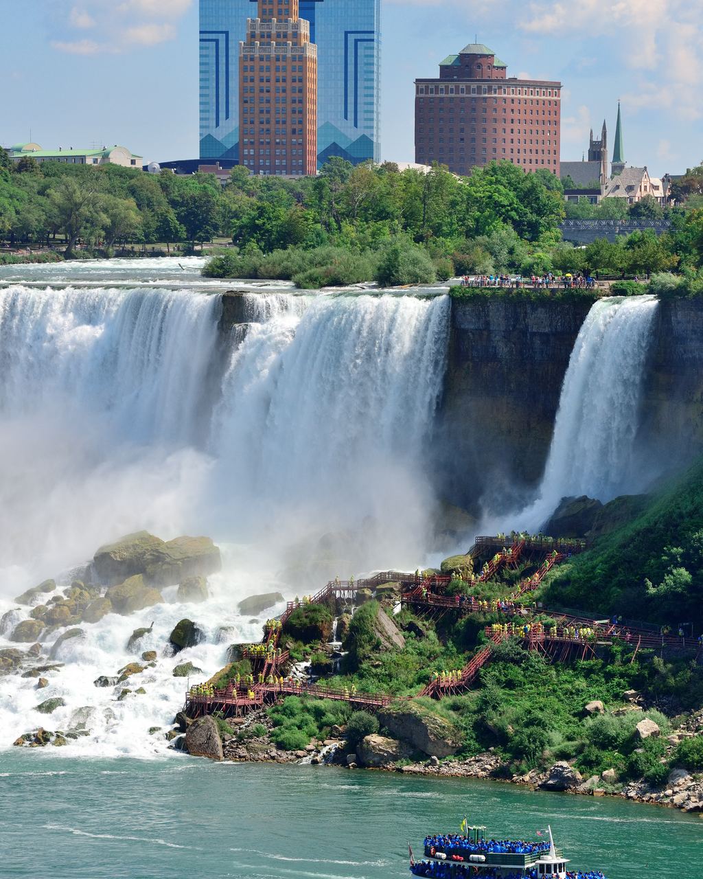
Fast, once. The measured figure for the Horseshoe is 5 feet a year, give or take 1 foot, between 1842 and 1905, from G. K. Gilbert's comparison of crest surveys in USGS Bulletin 306, published in 1907. That is about 1.5 meters. For the American Falls he found less than 3 inches a year from 1827 to 1905. Spread over the whole retreat, the IJC's Niagara Board gives an average of about 1 meter a year, which fits 11 km in about 12,500 years (our division: 0.88 m). Then the number drops. The Board puts the current rate at about 0.1 meter (4 inches) a year, and a 2009 paper in Geomorphology by Yuichi Hayakawa and Yukinori Matsukura describes a historic decline from about 1 meter a year a century ago to about 0.1 now (DOI).
Then the sources split. The New York State Museum says the falls are migrating upstream on the order of one foot a year, about 0.3 meter, three times the IJC figure. The 2009 paper is blunter than either. It says the current rate is supposed to be less than 0.1 meter (4 inches) a year, and that no certain record of the recent recession is available, citing Tinkler (1993, 1994). So the number repeated most often today rests on estimates, not on a recent survey.
| Source | What it covers | Rate as published |
|---|---|---|
| Gilbert, USGS Bulletin 306 (1907) | Horseshoe Falls, surveys 1842 to 1905 | 5 feet a year, give or take 1 foot (about 1.5 m) |
| Gilbert, USGS Bulletin 306 (1907) | American Falls, 1827 to 1905 | Less than 3 inches a year (less than 8 cm) |
| IJC Niagara Board | Average over the whole retreat | About 1 m a year |
| IJC Niagara Board | Present rate | About 0.1 m (4 inches) a year |
| Hayakawa and Matsukura (2009) | Horseshoe Falls today, citing Tinkler | Supposed to be below 0.1 m a year, no certain recent record |
| Hayakawa and Matsukura (2009) | American Falls today, citing Tinkler | About 0.01 m a year |
| New York State Museum | Falls today | On the order of one foot a year (about 0.3 m) |
Treat the present rate as an estimate: the 2009 paper that cites it says no certain record of recent retreat exists.
Why it slowed matters more than the number. The usual explanation is the diversion of water to power plants, which began in the late 19th century. Hayakawa and Matsukura tested it against a model built on flow volume, crest length and rock strength. In their calculation the Horseshoe would retreat at about 0.4 meter a year if natural flow came back with today's crest shape, and at about 0.3 if flow had never been cut and only the crest had changed. Diversion is part of it. The rest is geometry: the Horseshoe crest lengthened from 420 m in 1842 to 762 m in 2000, and the IJC says erosion tends to slow when the crest is horseshoe-shaped and speed up when it narrows to a V-notch. The paper concludes that diversion is not the only reason for the slowdown. Its flow table, built from IJC and Tinkler figures, shows how much water there was to begin with.
| Period | Flow over the Falls | Share of natural flow |
|---|---|---|
| 1842 to 1905 | 5,760 m³/s | 100% |
| 1905 to 1927 | 4,147 m³/s | 72% |
| 1927 to 1950 | 3,456 m³/s | 60% |
| 1950 to present | 1,770 m³/s | 30% |
One caution on that last row. The paper presents 1,770 m³/s as the annual mean under the treaty floors and does not show its working. Weighting the floors by the hours they apply gives about 1,890 m³/s by our arithmetic, so treat both as stand-ins for a flow that nobody published. The paper also dates the agreement to 1953; the IJC says the treaty was signed on February 27, 1950, and dates its directive creating the Niagara Board of Control to 1953, so we follow the IJC.
How the retreat was measured
Dates and quotations come from the sources named in each entry, read 2026-10-27.
The origins
-
About 12,500 years ago
The falls begin at the escarpment
The IJC places the crest at the Niagara Escarpment near Lewiston and Queenston when the river took its present course after the last ice age. The New York State Museum says about 12,000 years ago, so the date depends on the source.
-
Before 1678
Two falls instead of one
The IJC says the falls had split around Goat Island some time before 1678, and shows crest lines for 1678, 1764 and 1842.
-
1789
A resident who saw nothing move
Robert McCauslin, who stayed at Niagara for nine years from 1774, told the American Philosophical Society that two years of fairly accurate measuring showed no retreat of the north-east brink. Taking six miles of retreat and a world 5,700 years old, he got about 66 inches a year and said nothing like it had happened since 1774. Gilbert reprints the passage.
-
December 1828
A rock fall after dark
A letter dated December 30, 1828, quoted through Basil Hall in Gilbert's bulletin, reports shocks around 9 on the Sunday evening before, and by morning a large portion of the rock in the river bed at the Horseshoe had broken off.
The growth
-
1842
The first crest survey
James Hall commissioned a map of the crest in 1841, and E. L. Blackwell finished the survey in the autumn of 1842, setting monuments at the main trigonometric points. Gilbert later judged its outline of the American Falls wrong in part.
-
1905
The survey Gilbert needed
W. Carvel Hall surveyed the crest in June 1905. Set against 1842, it gave Gilbert 5 feet a year for the Horseshoe, published in 1907.
-
February 27, 1950
The treaty fixes minimum flows
The IJC gives this as the signing date of the Niagara Treaty, whose minimums are described above.
-
June to November 1969
The American Falls goes dry
A rock cofferdam diverts the river to the Horseshoe for more than five months. Secondary sources only; see above.
Today
-
2009, 2012 and 2013
Three blocks come off the crest
The IJC's Niagara Board reports the dislodgement of three rock blocks from the Horseshoe crest in those years and calls the pattern consistent with a relatively slow erosion rate. The Board watches the crest line for the start of a notch.
Is the undercut story right for Niagara?
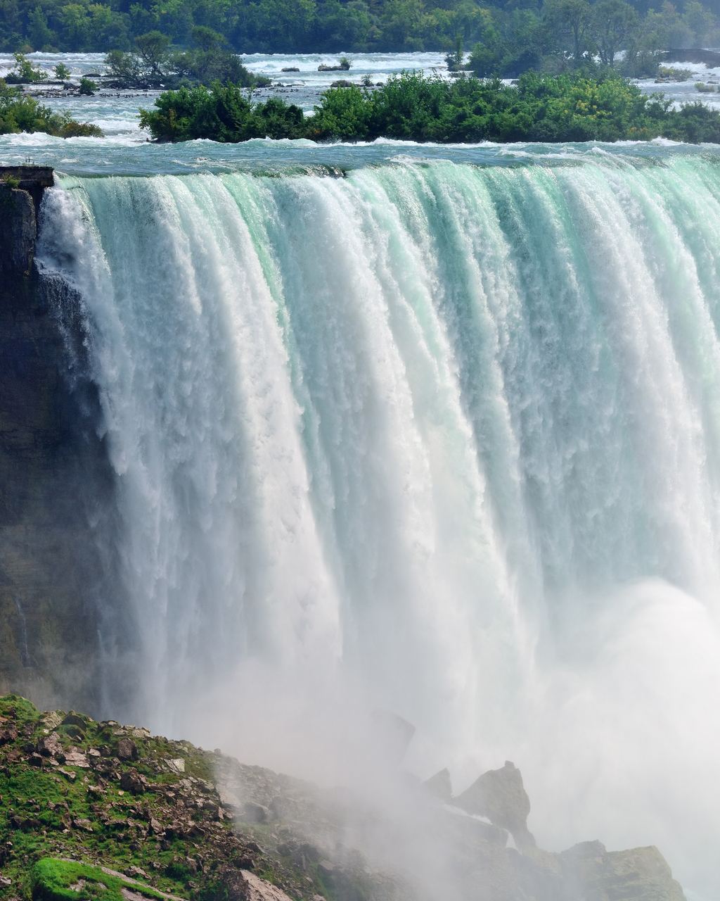
It is the textbook version, and Gilbert wrote it down in 1907: strong limestone over weak shale, the shale worn away below, the upper layers left projecting like a cornice until they fall in large blocks. Our guide to how waterfalls form covers the general case. Not everyone agrees. In 2010 Hayakawa and Matsukura measured the notch under the Horseshoe crest and found it no longer than 10 meters, far short of the tens to more than a hundred meters their cantilever analysis says the caprock needs before it collapses. They argue the face retreats by gradual detachment of rock under the river's flow rather than by an ever-longer notch and episodic collapses. For the notch length they point to a tunnel window in the rock face, the same kind of opening visitors know from Journey Behind the Falls. Basil Hall, a visitor in 1827 whom Gilbert quotes, guessed the overhang at 35 to 40 feet, about 11 to 12 meters by our conversion, so the two estimates sit close together.
What does this change for a visit?
Less than people hope. Do not pick an hour for the water. Neither the treaty nor any source we read gives you a flow for 9 a.m. against 11 p.m., and the daytime window is wider than most sightseeing days, so an evening visit in July can still fall inside it on the literal reading above. If a listing says the falls are turned down or at full power at some hour, it repeats a claim we could not find in the treaty text, the IJC pages or Niagara Parks. If you are choosing between the two shores, the comparison of the border falls sets out what each operator says, and the Niagara Falls tours page sorts the ways of seeing both.
The erosion rate gives you no deadline either. At about 0.1 meter (4 inches) a year the crest would move roughly a meter in a decade, if the estimate holds, and the New York State Museum says the falls may reach softer rock upstream in about 15,000 years at current rates. What you cannot get from any source is tonight's flow or this year's retreat. What you can plan around is ice. Niagara Parks says a crust of ice can form over the spray and make the falls look stopped, while the water keeps running underneath.
Quick answers on the treaty and the retreat
Is Niagara Falls natural or man-made?
The falls are natural: the IJC dates their start to the end of the last ice age, at the escarpment near Lewiston and Queenston. What is managed is the water. The control works, the pool behind them and the diversions to the power plants decide how much of the river goes over the crest.
How much of the water goes over the American Falls?
The IJC says the American Falls takes about 10% to 20% of the flow and the Horseshoe the rest. The 2009 paper uses a 90/10 split, because Goat Island divides the river.
Does the treaty protect the falls from erosion?
No. It protects their appearance: the IJC says the minimum flows were set for scenic purposes. Erosion work is separate, from the 1969 dewatering to the Niagara Board's monitoring of the crest for a notch.
What would the retreat rate be without the diversions?
In the 2009 paper's model, about 0.4 meter a year with natural flow and today's crest, against 0.15 with regulated flow. It is a model result for the Horseshoe, not a forecast.
Did the falls stop in 1969?
Only the American Falls, for more than five months, behind a rock dam built by the U.S. Army Corps of Engineers. The Horseshoe kept running.
Has the crest lost rock recently?
The IJC's Niagara Board noted three blocks dislodged from the Horseshoe crest in 2009, 2012 and 2013 and describes the unbroken curtain of water as likely to remain for tourists for some time to come. More questions across waterfalls are in the waterfall FAQ.
Keep reading
See Niagara after dark
Tours that run when the lights are on, with what each one includes.
Data verified on . Read 2026-10-27: IJC Niagara Board pages, Niagara Parks, USGS gauge 04216000 and Bulletin 306, two Hayakawa and Matsukura papers. Conversions and sums are ours.